Horák, Jiří
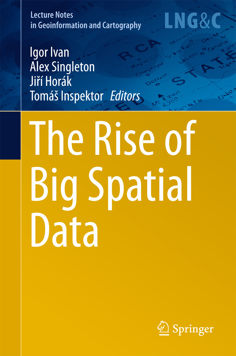
The Rise of Big Spatial Data
1. Application of Web-GIS for Dissemination and 3D Visualization of Large-Volume LiDAR Data
Marcin Kulawiak, Marek Kulawiak
2. Design and Evaluation of WebGL-Based Heat Map Visualization for Big Point Data
Jan Ježek, Karel Jedlička, Tomáš Mildorf, Jáchym Kellar, Daniel Beran
3. Open Source First Person View 3D Point Cloud Visualizer for Large Data Sets
Arnaud Palha, Arnadi Murtiyoso, Jean-Christophe Michelin, Emmanuel Alby, Pierre Grussenmeyer
4. Web-Based GIS Through a Big Data Open Source Computer Architecture for Real Time Monitoring Sensors of a Seaport
Pablo Fernández, Jose M. Santana, Sebastián Ortega, Agustín Trujillo, Jose P. Suárez, Jaisiel A. Santana, Alejandro Sánchez, Conrado Domínguez
5. Deriving Traffic-Related CO
Gernot Pucher
6. Combining Different Data Types for Evaluation of the Soils Passability
Martin Hubáček, Lucie Almášiová, Karel Dejmal, Eva Mertová
7. Sparse Big Data Problem. A Case Study of Czech Graffiti Crimes
Jiří Horák, Igor Ivan, Tomáš Inspektor, Jan Tesla
8. Towards Better 3D Model Accuracy with Spherical Photogrammetry
Handoko Pramulyo, Agung Budi Harto, Saptomo Handoro Mertotaroeno, Arnadi Murtiyoso
9. Surveying of Open Pit Mine Using Low-Cost Aerial Photogrammetry
Ľudovít Kovanič, Peter Blišťan, Vladislava Zelizňaková, Jana Palková
10. Sentinel-1 Interferometry System in the High-Performance Computing Environment
Milan Lazecky, Fatma Canaslan Comut, Yuxiao Qin, Daniele Perissin
11. Modelling Karst Landscape with Massive Airborne and Terrestrial Laser Scanning Data
Jaroslav Hofierka, Michal Gallay, Ján Kaňuk, Ján Šašak
12. Errors in the Short-Term Forest Resource Information Update
Ville Luoma, Mikko Vastaranta, Kyle Eyvindson, Ville Kankare, Ninni Saarinen, Markus Holopainen, Juha Hyyppä
13. Accuracy of High-Altitude Photogrammetric Point Clouds in Mapping
Topi Tanhuanpää, Ninni Saarinen, Ville Kankare, Kimmo Nurminen, Mikko Vastaranta, Eija Honkavaara, Mika Karjalainen, Xiaowei Yu, Markus Holopainen, Juha Hyyppä
14. Outlook for the Single-Tree-Level Forest Inventory in Nordic Countries
Ville Kankare, Markus Holopainen, Mikko Vastaranta, Xinlian Liang, Xiaowei Yu, Harri Kaartinen, Antero Kukko, Juha Hyyppä
15. Proximity-Driven Motives in the Evolution of an Online Social Network
Ákos Jakobi
16. Mapping Emotions: Spatial Distribution of Safety Perception in the City of Olomouc
Jiří Pánek, Vít Pászto, Lukáš Marek
17. Models for Relocation of Emergency Medical Stations
Ľudmila Jánošíková, Peter Jankovič, Peter Márton
18. Spatio-Temporal Variation of Accessibility by Public Transport—The Equity Perspective
Marcin Stępniak, Sławomir Goliszek
19. MapReduce Based Scalable Range Query Architecture for Big Spatial Data
Süleyman Eken, Umut Kizgindere, Ahmet Sayar
20. The Possibilities of Big GIS Data Processing on the Desktop Computers
Dalibor Bartoněk
21. Utilization of the Geoinfomatics and Mathematical Modelling Tools for the Analyses of Importance and Risks of the Historic Water Works
Lucie Augustinková, Vladimír Fárek, Jiří Klepek, Aneta Krakovská, Martin Neruda, Iva Ponížilová, Marek Strachota, Jan Šrejber, Jan Unucka, Vít Voženílek, Ivo Winkler, Dušan Židek
22. Creating Large Size of Data with Apache Hadoop
Jan Růžička, David Kocich, Lukáš Orčík, Vladislav Svozilík
23. Datasets of Basic Spatial Data in Chosen Countries of the European Union
Václav Čada, Jindra Marvalová, Barbora Musilová
24. Spatial Data Analysis with the Use of ArcGIS and Tableau Systems
Szymon Szewrański, Jan Kazak, Marta Sylla, Małgorzata Świąder
25. Processing LIDAR Data with Apache Hadoop
Jan Růžička, Lukáš Orčík, Kateřina Růžičková, Juraj Kisztner
26. Compression of 3D Geographical Objects at Various Level of Detail
Karel Janečka, Libor Váša
27. Applicability of Support Vector Machines in Landslide Susceptibility Mapping
Lukáš Karell, Milan Muňko, Renata Ďuračiová
28. Integration of Heterogeneous Data in the Support of the Forest Protection: Structural Concept
Jana Faixová Chalachanová, Renata Ďuračiová, Juraj Papčo, Rastislav Jakuš, Miroslav Blaženec
Nyckelord: Geography, Geographical Information Systems/Cartography, Data Mining and Knowledge Discovery
- Utgivare
- Horák, Jiří
- Inspektor, Tomáš
- Ivan, Igor
- Singleton, Alex
- Utgivare
- Springer
- Utgivningsår
- 2017
- Språk
- en
- Utgåva
- 1
- Serie
- Lecture Notes in Geoinformation and Cartography
- Sidantal
- 27 sidor
- Kategori
- Naturvetenskaper
- Format
- E-bok
- eISBN (PDF)
- 9783319451237
- Tryckt ISBN
- 978-3-319-45122-0

