Demhardt, Imre Josef
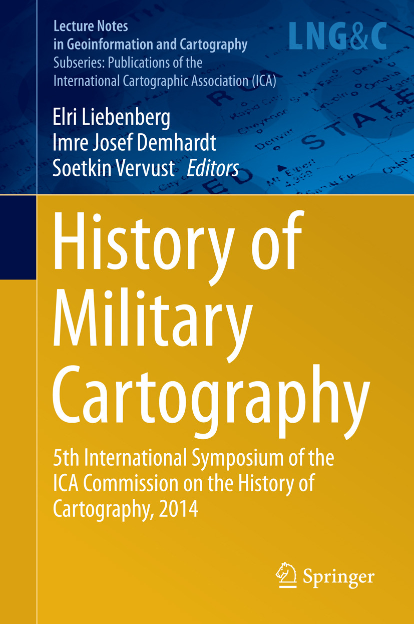
History of Military Cartography
Part I. Military Cartography during World War I
1. Image of Belgium in WWI Through Maps
Wouter Bracke
2. The Postal Service of the Portuguese Expeditionary Corps (1917–1919): A Time-Step Analysis Using Historical Data Integration in a GIS Environment
Patrícia Franco Frazão, Sandra Domingues, Jorge Rocha, José Paulo Berger
3. Position Mapping: Cartography, Intelligence, and the Third Battle of Gaza, 1917
Joel Radunzel
4. The Eye of the Army: German Aircraft and Aero Cartography in World War I
Jürgen Espenhorst
5. A Good Map Is Half The Battle! The Military Cartography of the Central Powers in World War I
Jürgen Espenhorst
6. Military and Civilian Mapping (ca 1912–1930) of the Great War: A Selective Private Collection (Including Postcards)
Francis Herbert
Part II. Maps and the Aftermath of World War I
7. Mapping, Battlefield Guidebooks, and Remembering the Great War
James R. Akerman
8. The Peace Treaty of Versailles: The Role of Maps in Reshaping the Balkans in the Aftermath of WWI
Mirela Slukan Altic
9. The Role of Ethnographical Maps of Hungary and Romania at the Peace Talks After the Great War
János Jeney
10. Ideological Changes in Ethnic Atlas Mapping of East Central Europe During the Twentieth Century
Marcus Greulich
11. A New Kind of Map for a New Kind of World: 1919, the Peace, and the Rise of Geographical Cartography
Peter Nekola
Part III. Military Cartography on Various Fronts
12. Military Mapping Against All Odds: Topographical Reconnaissance in the United States from the Revolutionary War to the Civil War
Imre Josef Demhardt
13. The Peninsular War 1808–1814: French and Spanish Cartography of the Guadarrama Pass and El Escorial
Pilar Chías, Tomas Abad
14. Partisan Cartographers During the Kansas-Missouri Border War, 1854–1861
Karen Severud Cook
15. Mapping for Empire: British Military Mapping in South Africa, 1806–1914
Elri Liebenberg
16. From Peninsular War to Coordinated Cadastre: William Light’s Route Maps of Portugal and Spain, and His Founding of Adelaide, the ‘Grand Experiment in the Art of Colonization’
Kelly Henderson
17. Contours of Conflict: the Highs and Lows of Military Mapping at The National Archives of the United Kingdom
Rose Mitchell
18. Whose Islands? The Cartographic Politics of the Falklands, 1763–1982
Benjamin J Sacks
Nyckelord: Geography, Geographical Information Systems/Cartography
- Utgivare
- Demhardt, Imre Josef
- Liebenberg, Elri
- Vervust, Soetkin
- Utgivare
- Springer
- Utgivningsår
- 2016
- Språk
- en
- Utgåva
- 1st ed. 2016
- Serie
- Lecture Notes in Geoinformation and Cartography
- Sidantal
- 11 sidor
- Kategori
- Naturvetenskaper
- Format
- E-bok
- eISBN (PDF)
- 9783319252445
- Tryckt ISBN
- 978-3-319-25242-1

