Nayak, Shailesh
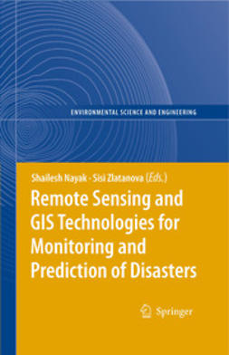
Remote Sensing and GIS Technologies for Monitoring and Prediction of Disasters
Part 1. Use of Geo-Information technology in large disasters
1. Geoinformation-Based Response to the 27 May Indonesia Earthquake – an Initial Assessment
Norman Kerle, Barandi Widartono
2. The Application of Geo-Technologies after Hurricane Katrina
Henrike Brecht
3. Application of Remote Sensing for Damage Assessment of Coastal Ecosystems in India due to the December 2004 Tsunami
Shailesh Nayak, Anjali Bahuguna
4. Increasing the Use of Geospatial Technologies for Emergency Response and Disaster Rehabilitation in Developing Countries
David Stevens
Part 2. Remote Sensing Technology for Disaster Monitoring
5. Adopting Multisensor Remote Sensing Datasets and Coupled Models for Disaster Management
Gilbert L. Rochon, Dev Niyogi, Alok Chaturvedi, Rajarathinam Arangarasan, Krishna Madhavan, Larry Biehl, Joseph Quansah, Souleymane Fall
6. Nearshore Coastal Processes Between Karwar and Bhatal, Central West Coast of India: Implications for Pollution Dispersion
Viswanath S. Hedge, G. Shalini, Shailesh Nayak, Ajay S. Rajawat
7. Landslide Hazard Zonation in Darjeeling Himalayas: a Case Study on Integration of IRS and SRTM Data
Mopur Surendranath, Saibal Ghosh, Timir B. Ghoshal, Narayanaswamy Rajendran
8. Monitoring and Interpretation of Urban Land Subsidence Using Radar Interferometric Time Series and Multi-Source GIS Database
Swati Gehlot, Ramon F. Hanssen
9. Extending the Functionality of the Consumer-Grade GPS for More Efficient GIS and Mapping Applications
Robert M. Mikol
Part 3. System Architectures for Access of Geo-Information
10. Interoperable Access Control for Geo Web Services in Disaster Management
Jan Herrmann
11. Spatial Data Infrastructure for Emergency Response in Netherlands
Henk Scholten, Steven Fruijter, Arta Dilo, Erik Borkulo
12. Geocollaboration in Hazard, Risk and Response: Practical Experience with Real-Time Geocollaboration at Québec Civil Security
Charles Siegel, Donald Fortin, Yves Gauthier
13. On-line Street Network Analysis for Flood Evacuation Planning
Darka Mioc, François Anton, Gengsheng Liang
14. Multi-user tangible interfaces for effective decision-making in disaster management
Harmen Hofstra, Henk Scholten, Sisi Zlatanova, Alessandra Scotta
DRM-restrictions
Printing: not available
Clipboard copying: not available
Avainsanat: SCIENCE / Earth Sciences / Geography SCI030000
- Tekijä(t)
- Nayak, Shailesh
- Zlatanova, Sisi
- Julkaisija
- Springer
- Julkaisuvuosi
- 2008
- Kieli
- en
- Painos
- 1
- Kategoria
- Eksaktit luonnontieteet
- Tiedostomuoto
- E-kirja
- eISBN (PDF)
- 9783540792598

