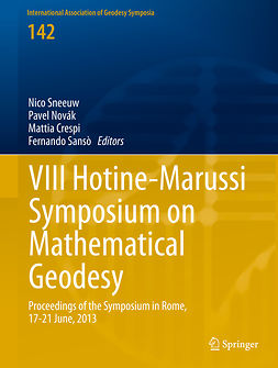
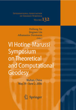
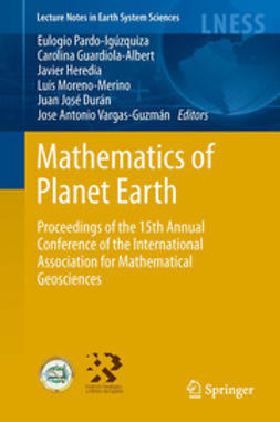
Freymueller, Jeffrey T.
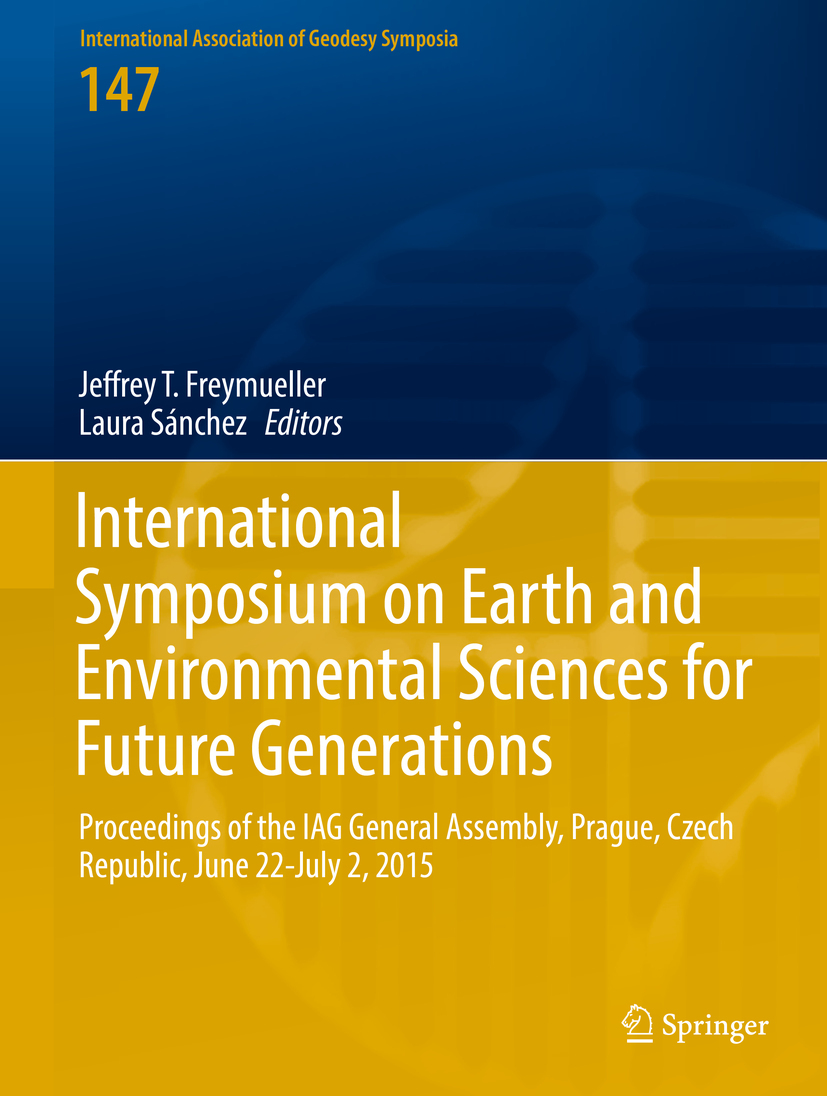
International Symposium on Earth and Environmental Sciences for Future Generations
1. Simulation of VLBI Observations to Determine a Global TRF for GGOS
Susanne Glaser, Dimitrios Ampatzidis, Rolf König, Tobias Nilsson, Robert Heinkelmann, Frank Flechtner, Harald Schuh
2. The Assessment of the Temporal Evolution of Space Geodetic Terrestrial Reference Frames
Dimitrios Ampatzidis, Rolf König, Susanne Glaser, Harald Schuh
3. Analysis Strategies for the Densification of the ICRF with VLBA Calibrator Survey Sources
Hana Krásná, David Mayer, Johannes Böhm
4. Towards the Definition and Realization of a Global Absolute Gravity Reference System
H. Wilmes, L. Vitushkin, V. Pálinkáš, R. Falk, H. Wziontek, S. Bonvalot
5. The Linearized Fixed Gravimetric Boundary Value Problem and Its Solution in Spheroidal Approximation
Georgios Panou, Romylos Korakitis
6. On the Convergence of the h-p Finite Element Method for Solving Boundary Value Problems in Physical Geodesy
David Mráz, Milan Bořík, Jaroslav Novotný
7. Domain Transformation and the Iteration Solution of the Linear Gravimetric Boundary Value Problem
P. Holota
8. A New Argentinean Gravimetric Geoid Model: GEOIDEAR
D. A. Piñón, K. Zhang, S. Wu, S. R. Cimbaro
9. Exploitation of Marine Gravity Measurements of the Mediterranean in the Validation of Global Gravity Field Models
M. F. Lequentrec-Lalancette, C. Salaűn, S. Bonvalot, D. Rouxel, S. Bruinsma
10. Traceability of the Hannover FG5X-220 to the SI Units
Manuel Schilling, Ludger Timmen
11. Evaluation of Robert Sterneck’s Historical Gravity Pendulum Measurements in the Czech Territory
Alena Pešková, Martin Lederer, Otakar Nesvadba
12. Ground-Satellite Comparisons of Time Variable Gravity: Results, Issues and On-Going Projects for the Null Test in Arid Regions
J. Hinderer, J.-P. Boy, R. Hamidi, A. Abtout, E. Issawy, A. Radwan, K. Zharan, M. Hamoudi
13. Impact of Groundtrack Pattern of Double Pair Missions on the Gravity Recovery Quality: Lessons from the ESA SC4MGV Project
S. Iran Pour, M. Weigelt, T. Reubelt, N. Sneeuw
14. A Posteriori De-aliasing of Ocean Tide Error in Future Double-Pair Satellite Gravity Missions
W. Liu, N. Sneeuw, S. Iran Pour, M. J. Tourian, T. Reubelt
15. A Method of Airborne Gravimetry by Combining Strapdown Inertial and New Satellite Observations via Dynamic Networks
J. Skaloud, I. Colomina, M. E. Parés, M. Blázquez, J. Silva, M. Chersich
16. Hybrid Gravimetry as a Tool to Monitor Surface and Underground Mass Changes
J. Hinderer, B. Hector, A. Mémin, M. Calvo
17. Tidal Spectroscopy from a Long Record of Superconducting Gravimeters in Strasbourg (France)
Marta Calvo, Séverine Rosat, Jacques Hinderer
18. Investigations of a Suspected Jump in Swedish Repeated Absolute Gravity Time Series
Per-Anders Olsson, Andreas Engfeldt, Jonas Ågren
19. Detailed Analysis of Diurnal Tides and Associated Space Nutation in the Search of the Free Inner Core Nutation Resonance
Séverine Rosat, Marta Calvo, Sébastien Lambert
20. Chandler Wobble and Frequency Dependency of the Ratio Between Gravity Variation and Vertical Displacement for a Simple Earth Model with Maxwell or Burgers Rheologies
Yann Ziegler, Yves Rogister, Jacques Hinderer, Séverine Rosat
21. Detection of the Atmospheric S
Anastasiia Girdiuk, Michael Schindelegger, Matthias Madzak, Johannes Böhm
22. Free Core Nutation Parameters from Hydrostatic Long-Base Tiltmeter Records in Sainte Croix aux Mines (France)
U. Riccardi, J-P. Boy, J. Hinderer, S. Rosat, F. Boudin
23. Numerical Issues in Space-Geodetic Data Analysis and Their Impact on Earth Orientation Parameters
Thomas Artz, Sebastian Halsig, Andreas Iddink, Axel Nothnagel
24. A Non-tidal Atmospheric Loading Model: On Its Quality and Impacts on Orbit Determination and C20 from SLR
Rolf König, Elisa Fagiolini, Jean-Claude Raimondo, Margarita Vei
25. Effects of Meteorological Input Data on the VLBI Station Coordinates, Network Scale, and EOP
Robert Heinkelmann, Kyriakos Balidakis, Apurva Phogat, Cuixian Lu, Julian A. Mora-Diaz, Tobias Nilsson, Harald Schuh
26. History of Monitoring Earth Orientation, and Re-analyses of Old Data
Jan Vondrák
27. Multi-GNSS PPP-RTK: Mixed-Receiver Network and User Scenarios
P. J. G. Teunissen, A. Khodabandeh, B. Zhang
28. A New Method for Real-Time PPP Correction Updates
Yang Gao, Wentao Zhang, Yihe Li
29. Towards Reliable and Precise BeiDou Positioning with Stochastic Modelling
Bofeng Li, Qingzhi Hao
30. PPP Carrier Phase Residual Stacking for Turbulence Investigations
Franziska Kube, Steffen Schön
31. On Removing Discrepancies Between Local Ties and GPS-Based Coordinates
S. Schön, H. Pham, T. Krawinkel
32. Receiver Antenna Phase Center Models and Their Impact on Geodetic Parameters
Tobias Kersten, Steffen Schön
33. Singular Spectrum Analysis for Modeling Geodetic Time Series
Q. Chen, N. Sneeuw
34. Impact of Limited Satellite Visibility on Estimates of Vertical Land Movements
K. E. Abraha, F. N. Teferle, A. Hunegnaw, R. Dach
35. Noise Filtering Augmentation of the Helmert Transformation for the Mapping of GNSS-Derived Position Time Series to a Target Frame
Miltiadis Chatzinikos, Christopher Kotsakis
36. Assessing GPS + Galileo Precise Point Positioning Capability for Integrated Water Vapor Estimation
Marco Mendonça, Ryan M. White, Marcelo C. Santos, Richard B. Langley
37. Atmospheric Precipitable Water in Somma-Vesuvius Area During Extreme Weather Events from Ground-Based GPS Measurements
U. Tammaro, U. Riccardi, F. Masson, P. Capuano, J. P. Boy
38. Water Vapor Radiometer Data in Very Long Baseline Interferometry Data Analysis
Tobias Nilsson, Benedikt Soja, Maria Karbon, Robert Heinkelmann, Harald Schuh
39. Land Subsidence Detected by Persistent Scatterer Interferometry Using ALOS/PALSAR Data from the Nakagawa Lowland in the Central Kanto Plain, Japan
Shoichi Hachinohe, Yu Morishita
40. A New Velocity Field of Greece Based on Seven Years (2008–2014) Continuously Operating GPS Station Data
Stylianos Bitharis, Aristeidis Fotiou, Christos Pikridas, Dimitrios Rossikopoulos
41. SPINA Region (South of Iberian Peninsula, North of Africa) GNSS Geodynamic Model
B. Rosado, I. Barbero, A. Jiménez, R. Páez, G. Prates, A. Fernández-Ros, J. Gárate, M. Berrocoso
42. Continuous Kinematic GPS Monitoring of a Glacier Lake Outburst Flood
Cornelia Zech, Tilo Schöne, Julia Neelmeijer, Alexander Zubovich
43. Water in Central Asia: Reservoir Monitoring with Radar Altimetry Along the Naryn and Syr Darya Rivers
Tilo Schöne, Elisabeth Dusik, Julia Illigner, Igor Klein
44. Erratum to: AMethod of Airborne Gravimetry by Combining Strapdown Inertial and New Satellite Observations via Dynamic Networks
J. Skaloud, I. Colomina, M. E. Parés, M. Blázquez, J. Silva, M. Chersich
Keywords: Earth Sciences, Geophysics/Geodesy, Geotechnical Engineering & Applied Earth Sciences, Remote Sensing/Photogrammetry
- Editor
- Freymueller, Jeffrey T.
- Sánchez, Laura
- Publisher
- Springer
- Publication year
- 2018
- Language
- en
- Edition
- 1
- Series
- International Association of Geodesy Symposia
- Page amount
- 374 pages
- Category
- Natural Sciences
- Format
- Ebook
- eISBN (PDF)
- 9783319691701
- Printed ISBN
- 978-3-319-69169-5

